Coastal Navigation & Maritime Weather
Navigating Germany's Coastal Waters
A reference on tidal patterns, storm forecasting, buoyage systems and pilotage along Germany's North Sea and Baltic coasts. Drawn from publicly available nautical data, DWD maritime bulletins and BSH publications.
Reference Articles
Navigational and meteorological reference material covering Germany's coastal waters.

Tidal Navigation
Tidal Navigation in the German Bight: Channels, Sandbanks and Flow
The German Bight's shallow shelf geometry produces complex tidal behaviour. Channels shift, sandbanks migrate, and tidal windows govern deep-draught passage through the Elbe, Weser and Jade approaches.
Read article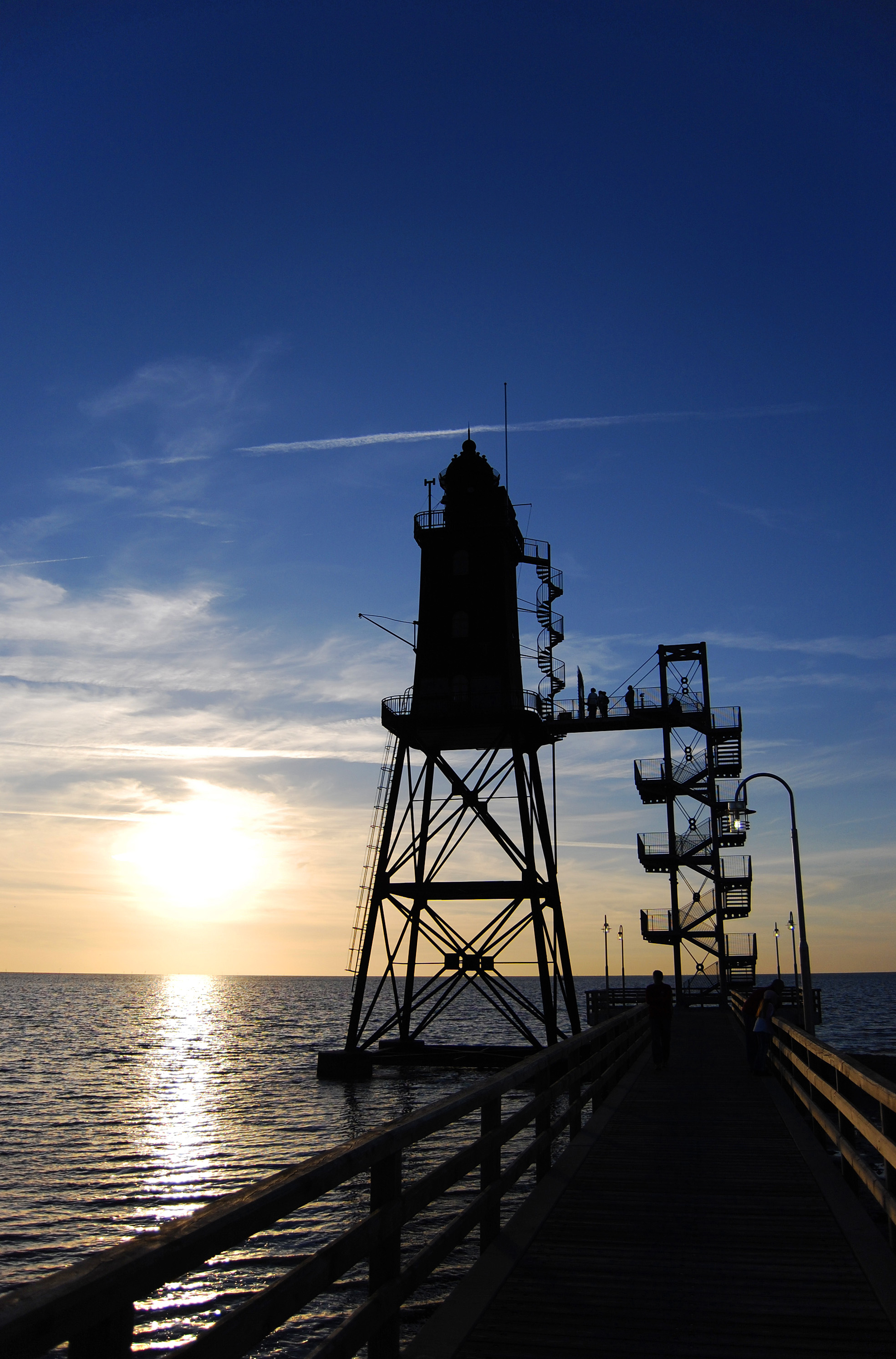
Maritime Weather
North Sea Maritime Weather: Forecasting Systems and Storm Signals
The North Sea sits at the eastern end of the North Atlantic storm track. DWD issues area forecasts and coastal warnings using the Beaufort scale, referencing named sea areas used across the region.
Read article
Buoyage & Marks
IALA Buoyage on the German Coast: Lateral Marks, Cardinals and TSS
All German coastal waters fall within IALA Maritime Buoyage Region A. The system uses lateral marks in red-to-port configuration, cardinal marks, isolated danger marks and traffic separation schemes.
Read articleThe German Bight and Its Tidal Character
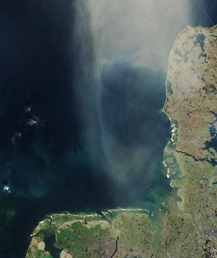
The German Bight (Deutsche Bucht) forms the south-eastern corner of the North Sea. Its shallow depths — averaging around 25 metres across the inner shelf — amplify tidal ranges along the coast. The Wadden Sea (Wattenmeer), stretching from Den Helder in the Netherlands to Blåvands Huk in Denmark, is the largest contiguous intertidal flat system in the world. Within it, marked channels serve as the only deep-water routes to the major ports.
Tidal range increases from west to east across the German North Sea coast. At the outer Elbe approach buoy, the mean spring range reaches approximately 3.4 metres. At Cuxhaven, further up the estuary, this increases to around 3.7 metres, and storm surges can push levels considerably higher. The Jade estuary leading to Wilhelmshaven shares similar characteristics.


Estuaries as Navigation Corridors
Germany's three major North Sea estuaries — the Elbe, Weser and Ems — function as navigation corridors linking the open sea to the inland port cities. The Elbe carries deep-draught container traffic to Hamburg, Europe's third-largest container port. The approach channel has been deepened and widened through successive dredging projects, but the geometry of the estuary still requires careful tide planning for the largest vessels.
The Weser leads to Bremerhaven and Bremen. Its outer reaches pass the Weser lightship position and the Roter Sand lighthouse — the world's first offshore lighthouse, built in 1885 and decommissioned in 1986. The Ems estuary connects to Emden and the Dortmund-Ems Canal system.
Key Reference Points
Navigational landmarks and meteorological stations relevant to German coastal passage.
Lighthouse
Roter Sand
Located at the outer Weser approach, Roter Sand was constructed between 1880 and 1885 as the world's first screwpile lighthouse built in open sea. Height 32.5 metres, light character Fl(3)W.10s, nominal range 22 nautical miles. Now maintained as a heritage structure; the navigational function is served by the Weser 3 light buoy.
Weather Reporting
DWD Maritime Forecasts
The Deutscher Wetterdienst (DWD) issues coastal weather bulletins for the German Bight, the eastern North Sea and the western Baltic. Forecasts cover wind force (Beaufort scale), wave heights, visibility and weather conditions. Gale warnings are broadcast on NAVTEX and the DWD marine website. The Hamburg Coast Radio Station historically served as the broadcast point.
Hydrographic Office
BSH Charts and Notices
The Federal Maritime and Hydrographic Agency (Bundesamt für Seeschifffahrt und Hydrographie, BSH) publishes official German nautical charts, tide tables and Notices to Mariners. Chart series INT 1403 to INT 1450 cover the German coastal zone. BSH also operates the MARNET monitoring network with sea-level stations at tide gauge sites along the coast.